
Island map
Get your bearings before you arrive.
Checked October 13, 2026 · Independent visitor guide
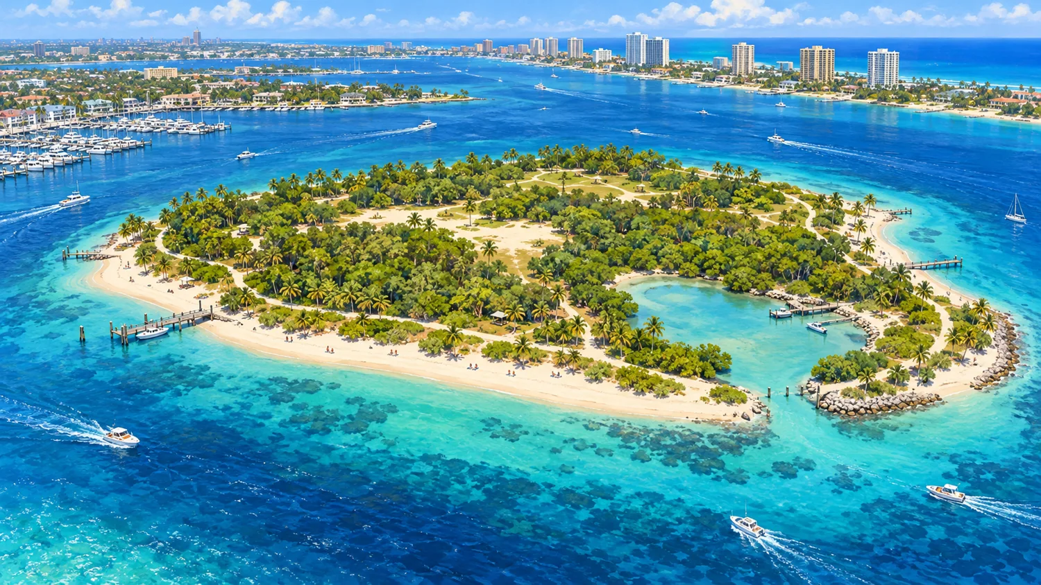
Island Map & Orientation
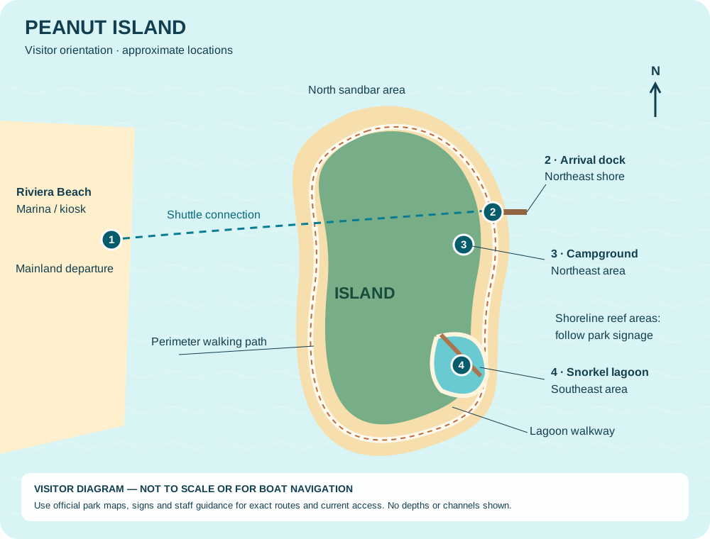
The ticket kiosk is at the southeast end of the mainland marina. The shuttle’s island arrival is the northeast dock; these are different locations. The lagoon is southeast and the campground northeast. The northern sandbar area changes with tide.
Walk & explore
Follow the perimeter path, lagoon observation walkway and signed park routes. Ask staff for current access to reef and mangrove pathways. Use the official park map for facilities and precise directions.
Official maps & directions ↗Operator island guide ↗Sources & updates
https://peanutislandshuttleboat.com/faqhttps://discover.pbc.gov/parks/Pages/Camping-PeanutIsland.aspxhttps://discover.pbc.gov/parks/PeanutIsland/Directions.aspxProvider information can change. Call or check the official page before your trip.
Plan your Riviera Beach island day
Start with Peanut Island ferry and marina parking, check local tides and weather resources, and explore restaurants near Peanut Island.